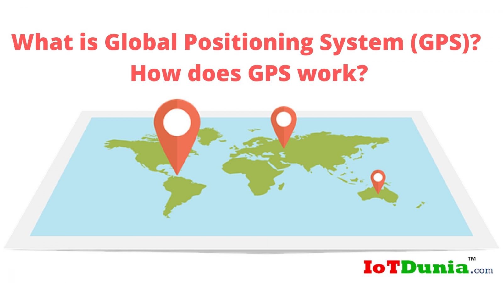
What is the Global Positioning System?
Global Positioning System which is mostly known for its abbreviated name; GPS, is a satellite-based radio navigation system.
GPS is one of the most implemented tools by men these days and enables seafarer that helps in outlining the way to its efficiency along with the evolvement of the sea-going chronometer.
Thus Global Positioning System has greatly supported the maritime movement over the last few years. Besides, the implementation of GPS in the army will affect the cherish of your lifestyle.
Multiple applications of the Global Positioning System will provide us benefits collectively as well as personally simultaneously.
As global positioning system is a satellite-based navigation system, it consists of a system of 24 orbiting satellites and it is equal to the 11000 nautical miles in space in the six various orbital pathways.
These satellites are not static but constantly move and also completes two orbits around the whole earth within a day.
Hence, it can be assumed that it constantly moves with a speed of 2.6 km per second which is great in terms of the speed of any moving object. So it becomes able to call itself one of the robust communication networks in the world.
The most important applications of the global positioning system are like agriculture, mining, surveying, marine, military, aviation, and recreation by most of the countries. Moreover, there are many other applications of GPS for farmers, sailors, navigators, fishermen, athletes, physicians, delivery boys, scientists, dispatchers, hikers etc.
Furthermore, the global positioning system is also being implemented in various other prospects. But the simple meaning of the implementation of the global positioning system to make our life smoother and hence safer as well.
There are many companies in the world providing the GPS system to the people for the fulfillment of various purposes and customers & companies are getting a great return on investment (ROI) along with the customers’ rapid integration.
See also: What is Indoor Positioning System and its Uses?
How does Global Positioning System work?
The global positioning System satellites are also known as NAVSTAR satellites while the first GPS satellite was driven in the way back 1978 by Ivan A. Getting, Roger L. Easton, and Bradford Parkinson.
GPS system was basically created for the military of the United States and was made fully operational by the year 1995.
It’s very important to know in the Global Positioning System, each satellite has the weight of about approximately 1 tonne while about 5 meters length of solar panel across are also equipped in the system.
Besides, the transmitter in the satellite is a vital component that has the power of about 50 watts.
Three frequencies range maintains the transmission work of the satellite.
The validity of operation of every satellite in the Global Position system is not more than 10 years on an average. After expiration of the satellites, new satellites are being steadily made as a replacement of them into the orbit.
The range of the satellite’s orbit from the earth is about 25,000 kilometers from the midst of the earth. The civilian Global Positioning System utilizes the frequency named L1 of about 1575 MHz.
With the help of a GPS system, you can determine the location that assures your position while navigation finds in turning one location to another. With the accurate measurement of the time, it also provides a precise mapping of the world.
Moreover, the monitoring object and personal movement are the other elements in the Global Positioning System.
The Orbital path of the GPS satellites usually needs them in between 60 degrees North and equal degrees in South latitudes.
Hence, you become able to get a signal from any location in the world 24/7. With driving near the poles, you can easily get the GPS satellites.
One of the biggest benefits of the global positioning system is working in all weather circumstances and thus you make yourself able to maintain on the right track all the time.
The signals of the global positioning system have the ‘pseudo-random code’ with the help of which we can easily identify I.D. code, where we can also detect the appropriate location of the working satellite.
Moreover, GPS also contains ephemeris and almanac data, where ephemeris data can be greatly transmitted by every satellite and thus we become able to get to know about the status of the satellite, whether it’s working or not.
Besides, it also gives us the current date & time So lacking the epiphany data, you would not be able to know the current time and date through the GPS receiver.
Hence, this is one of the most vital components to know the position within a few seconds.
The almanac data will provide the GPS receiver the thorough day activities of the satellites. Transmission of the almanac data, we can know orbital information for the satellite and other satellite in the particular system as well.
The atomic clock on the global positioning system maintains the accurate time and with the assistance of the special relativity, we can know the difference between the clock and an equal clock on the surface of the earth.
Through the general relativity, you can get to know about the time will seem to go idle under the gravitational force and hence the clock on the board will seem to run faster than usual on the surface.
Moreover, with the assistance of the special relativity of the satellites, clocks move to correspond to the clock on the earth and hence they also seem to run slower here.
Global positioning system on the earth also contains a computer that is for triangulating the position itself through the significance from three satellites out of four.
You should also know that the result is to provide the geographic position whether its longitude or latitude.
Some of the GPS receivers also equipped with a display screen that shows the map and apparent position can be easily shown on the map.
During the movement of the object, your receiver can also easily detect the speed of the object along with the direction of the travel route.
Hence, you’ll also be able to estimate the accurate time of arrival for the particular destination during the tour. During the receiving scenario of the 4th satellite, the receiver or computer can easily estimate the altitude along with the geographic position.
Conclusion:
The global positioning system is one of the most important objects for most of the people in the fast-moving life.
It has been drastically been using by the people and companies for the fulfillment of various purposes.
Now the GPS technology has also become smartphone-enabled suitable and efficient specifically for the end-users.
Thus enabling the smartphone, it can receive the navigating directions through the global positioning system and this process is called trilateration. And with specific pattern satellites, you can get the navigating instructions for both automobiles as well as foot. With the technologically superior smartphones, you can detect a particular street and displays on maps simultaneously.
See also: Internet of Things for Cold Chain Monitoring and Tracking
I hope you may now get better understanding about ‘What is the Global Positioning System’, let us know your views on its applications in the comment section below.
If you like this post subscribe to our YouTube Channel for IoT video Tutorials.
and If you have smart product or service and looking for perfect audience then submit a guest post at IoTDunia and get to know in IoT world.